
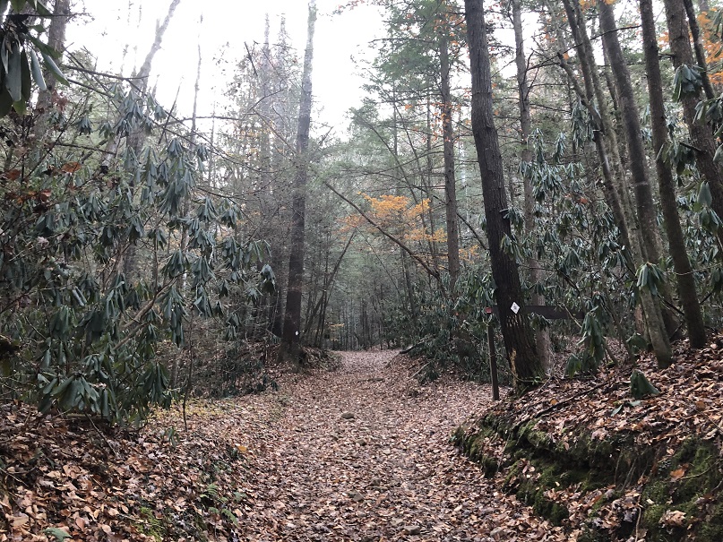
Chestnut Ridge
Turning down Alder Branch from Divide Road, the Sheltowee Trace follows the ins and outs of every drain as you hike your way out Chestnut Ridge. Like all the other Chestnut Ridges we have passed, this long, mostly flat-topped ridge was named for the large American Chestnut trees that prospered in the fertile soil and towered over the rock cliffs below. This ridge, now covered again by trees, was once cleared and planted in corn by local farmers.

“Tuckasee” Dispute
Hikers cross from Kentucky into Tennessee near the confluence of Massey Branch and Rock Creek, approximately two miles before Divide Road, the traditional state line. Several attempts to survey the exact location of the boundary culminated with a major expedition in 1779 to establish the boundaries of overlapping Virginia and North Carolina claims. The survey errored and placed the line 5-12 miles north of the established boundary. A dispute between the states ensued.
The tentative boundary between the state of Tennessee and the Commonwealth of Kentucky was not settled until 1820, when the dividing line was set at 36’35” rather than 36’, 30”, but there were some who disagreed. The final say in the Kentucky-Tennessee border dispute was had by the United States Supreme Court, which settled the matter at the current location in 1893. The first mile and a half south of Divide Road is part of the disputed land that Tennessee and Kentucky fought over until 1893.
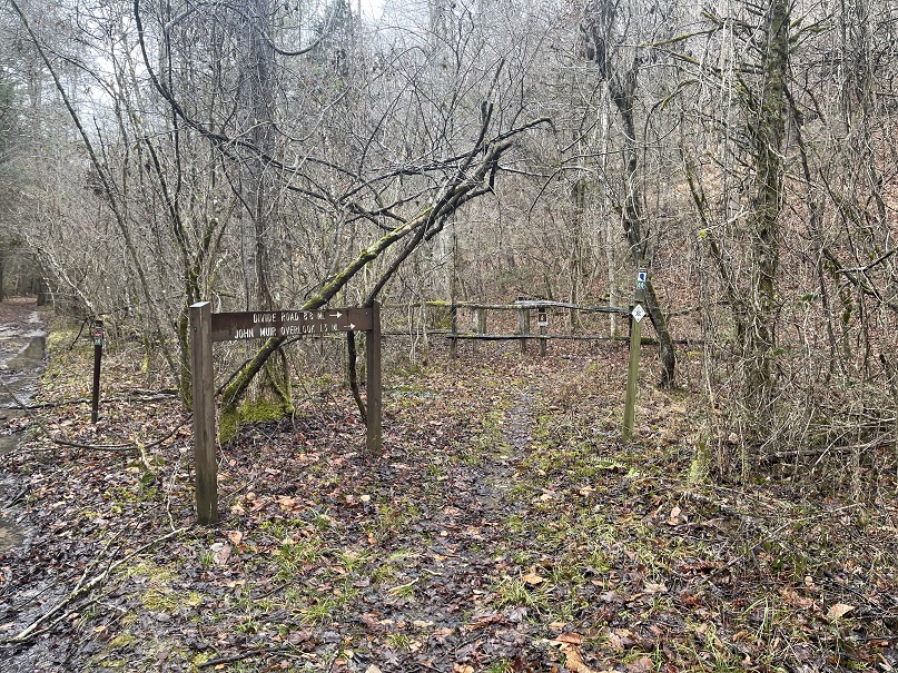
John Muir Overlook
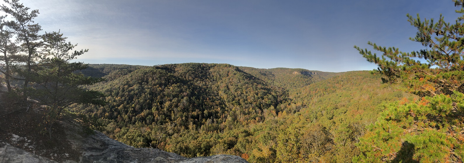

In September 1867, naturalist John Muir decided to walk from Kentucky to the Gulf of Mexico. Muir was born in Scotland and immigrated to the United States with his family in 1849. He decided to find the “wildest, leafiest, and least trodden way I could find.” He passed through the headwater of the Clear Fork watershed near Jamestown, Tennessee, and may have entered the modern boundaries of the Big South Fork National Recreation area.
In the following months after reaching the Gulf of Mexico at Cedar Key, he wrote and published a book entitled A Thousand-Mile Walk to the Gulf about his experience. His interest in the environment, botany, zoology, and forest preservation later earned him the title of “the Father of the National Parks System.”
The John Muir Trail runs for more than 44 miles through the Big South Fork and was named in honor of John Muir’s conservation efforts and to commemorate his visit to the area. Blue and brown trail markers feature his bearded silhouette to mark the route and the sections of the trail shared with the Sheltowee Trace. An overlook along the Sheltowee Trace near the southern end of Chestnut Ridge is also named for him.

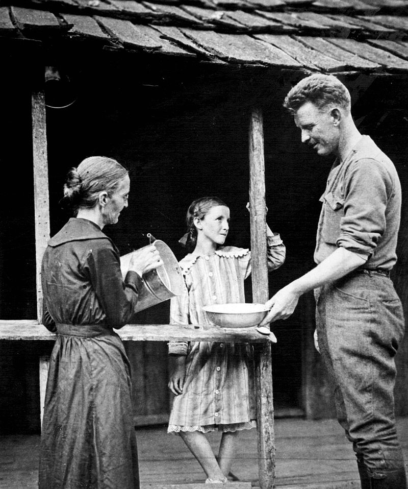
Remnants of House
Before crossing No Business Creek, look to your left into the woods. Several large stone pillars can be seen among the trees and vines. These upright stones were once the foundation upon which a family homes stood. The home was built high off the ground to avoid the frequent flash floods that are common along No Business Creek.

The evidence of many of these homesteads has been removed through the years, and little evidence of human habitation can be found as time and nature return the Big South Fork to a natural wonder. The only evidence of humans now usually comes from your footprints and careless users of the park.
Maude’s Crack
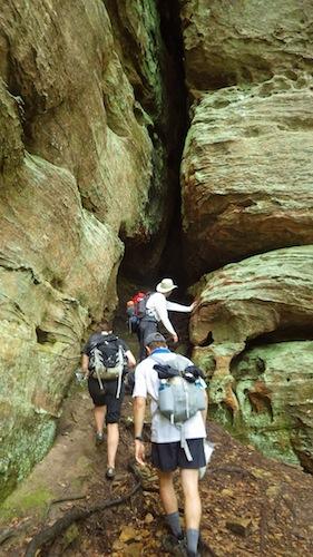
The Sheltowee Trace circles a large sandstone column more than 60 feet high. Hidden in a narrow crevice is Maude’s Crack, and high above is the Maude’s Crack Overlook.
This point of interest near Oneida, Tennessee, can be accessed from below by the Sheltowee or from above by Terry Cemetery Road, which is maintained by the United States Forest. The overlook on the top of the rock provides a look down No Business Creek and of Burke’s Knob nearby.
The most significant feature of this rock formation is Maude’s Crack, a large crevice in the rock that was named for Minnie “Maude” Roysden.
Local legend holds that Maude found the crack in the rock while trying to deliver lunches to her husband and several workmen, who were cutting timber on the other side of the point. Her efforts to find a shortcut helped her deliver hot food to the men, and the name for this unique natural feature stuck.
Maude’s Crack remains a popular destination for hikers today, although many who hike the Sheltowee Trace pass by without locating the entrance to the natural crevice.
Station Camp Creek
Station Camp Creek was named for the hunting camp established and frequented by long hunters who ventured into the area in the late 1700s to harvest animal pelts for profit. The wide and open creek bottoms near the mouth of the creek served as a location for the base camp from which hunters roamed in all directions. The semi-permanent camp was called a station, and the name stuck.
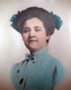
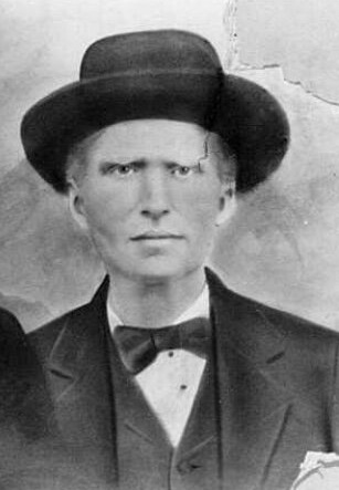
On January 22, 1892, Station Camp Creek was the scene of a notorious murder. William Riley Hatfield, a distant cousin of the more famous Hatfield of the famous feud, was riding his horse near the confluence of the Big South Fork River and the Station Camp Creek when he and a man walking the roadway got into an argument.
According to the information known about the event, Hatfield, in a fit of anger, spun his horse about and attempted to knock the walker to the ground. The man fired his rifle up into Hatfield’s lower abdomen. The bullet traveled up through his body, exited his chest at the base of his neck, and passed through a section of his jaw.
He lived only a few hours after the shot was fired. He was buried in the field near the Charit Creek Lodge hostel in the Burke-Hatfield Cemetery. A portion of the large log structure at Charit Creek was his original home.
Charit Creek Lodge
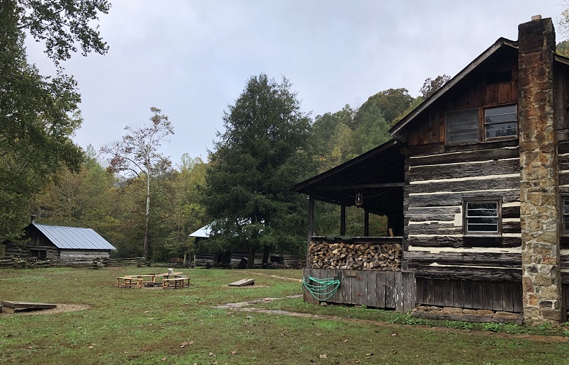
Located at the confluence of Charit Creek and Station Camp Creek, Charit Creek Lodge offers one of the most unique stays in the entire National Park Service. Multiple cabins, one built in 1817, have been relocated to the site of an early 1800s hunting camp to create the oldest operating lodge in the Parks System. This facility offers a one-of-a-kind lodging and dining experience, but reservations are required to eat and stay. Other services are provided onsite.

Twin Arches
Well, you made it to Charit Creek Lodge much sooner than you expected. You crushed those 17+ miles- not what do you do for the next 6 hours until it gets dark. Why not go on a hike?
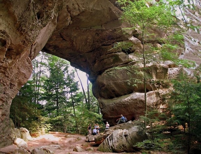
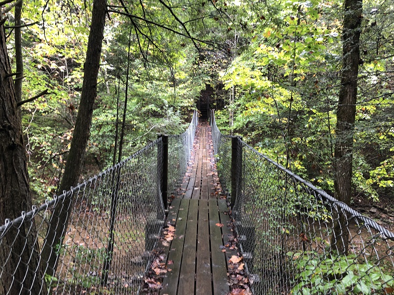
Located .78 miles above Charit Creek Lodge, Twin Arches is an absolute natural wonder. A trail, which leaves from the Charit Creek Lodge, works its way up the hill to these gems. Take the extra miles and the short climb up to visit this area. You will not regret the extra walk. The North and South Arches, as they are known, are separate and distinct natural features, although they were created by the same process in the same sandstone layer. The South Arch has a span of more than 135 feet, while the North Arch is about 93 feet wide.
According to the National Parks Service, “In the eastern United States, very few bridges are as high or as broad as the South Arch. If both components of the Twin Arches are regarded as parts of a single landscape feature, then very few natural bridges in the world equal the Twin Arches in size.”
Time Zone Change

Just after leaving Charit Creek Lodge and climbing the long and steep hill out of Station Camp Creek, hikers might notice strange electrical changes to their telephones and watches. Sheltowee Trace hikers often report that the time changes back and forth and often jumps forward and backward an hour. There is a perfectly good reason why this anomaly occurs.
As you start your hike on the gravel roadway, hikers are about 75 yards from the diving line between the Eastern Daylight Time Zone and the Central Daylight Time Zone. Over the next two and a half miles, the trail passes very near the line- close enough to drive your electronics crazy. Don’t worry; the trail never crosses into the Central Time Zone on our hike.
The Rugby Extension will eventually cross that line between Mount Helen and Burnt Mill Bridge, but the 2022 Sheltowee Trace will not.
Fentress County Line
From Charit Creek to Bandy Creek, the Sheltowee Trace parallels the Scott and Fentress County, Tennesse line. At one point, the Sheltowee Trace passes within 150 feet of the Fentress County line but never crosses it. Fentress County was created on November 28, 1823, from portions of Morgan, Overton, and White Counties. The county seat at Jamestown is home to about 2,000 residents.
A Tennessee State Park is a popular tourist destination in Fentress County. The Sgt. Alvin C. York State Historic Park in Pall Mall, Tennessee, is the family home of Alvin York, the most decorated American soldier of World War I.
York was awarded the Congressional Medal of Honor in 1919 for leading an attack on a German machine gun installation where he and a few other men captured 35 machine guns, killed 25 German soldiers, and captured 132. The attack was part of the offensive that finally broke the Hindenberg line and led to the German surrender.
He returned to Fentress County and lived at Pall Mall for the remainder of his life. He died on September 2, 1964, and is buried in the Wolf River Cemetery in Fentress County.

Bandy Creek Campground
Bandy Creek Campground is located 16 miles from Oneida, Tennessee. The site offers 181 campsites, including 96 with trailer hook-ups and 49 tent camping sites. Picnic tables and fire rings are also provided at each, and bathhouse/restroom facilities are within easy walking distance. A large swimming pool is popular with summer campers, and Bandy Creek Visitors’ Center is nearby. The Sheltowee Trace and numerous other trails in the area are easily accessed. A stable nearby offers another way to enjoy the Big South Fork on your trip.
© 2022 Stephen D. Bowling
