
Team Boone – Morehead Convention Center to Clear Creek
It was cold and dark when I pulled into the Clear Creek Lake Trailhead on the morning of Saturday, February 12. The ride from home had been completed with a quick stop to see my friend Ronald McDonald for a sandwich. A few cars were neatly lined up on the inside of the parking area, and several hikers sat in their cars enjoying the last of the heat.
One by one, the car doors opened, and hiker retrieved their packs from the back. Steve Barbour with the White Van and two other shuttles rolled into the parking lot about 6:00 a.m. Headlamps shined, and hikers milled about the three vans looking for seats after loading their “five-pound” drops. By 6:35, we were on the road for a half-hour roll to Morehead.
The sunrise met us at Morehead as 33 members of Team Boone crossed Main Street for a quick picture on the steps of the Police Station. Then Steve Barbour fired the proverbial starting gun by saying, “Go.” With that, the Clear Creek Marathon started. Like racehorses who have been penned up for a month, hikers took off at a near run down Main Street and out to Clearfield.

The trail is all road walk for the first 5 miles or so, and the pace was fast and the terrain easy. Crossing the road at Shell Mart, several made one last pitstop on the way to the Clearfield Post Office. After weaving through the streets of Clearfield, hikers made the turn for the hike up Mill Creek. The walk was pleasant and enjoyable, with lots of conversation. Then we reached the major climb for the day.
Not so much chatter and lots more huffing as we left the blacktop and climbed a significant up to the gravel forest service road. While not super steep, the climb and its very few switchbacks present an early morning challenge, but not one that cannot be surmounted with some time and steady steps. After climbing up the hill, it’s out onto the gravel road and around the ridge tops. I left the trail and enjoyed the walk to the overlook and the climb up Amburgey Rocks. The view is nice this time of the year through the trees and will be gone when the leaves pop out in a few short weeks.
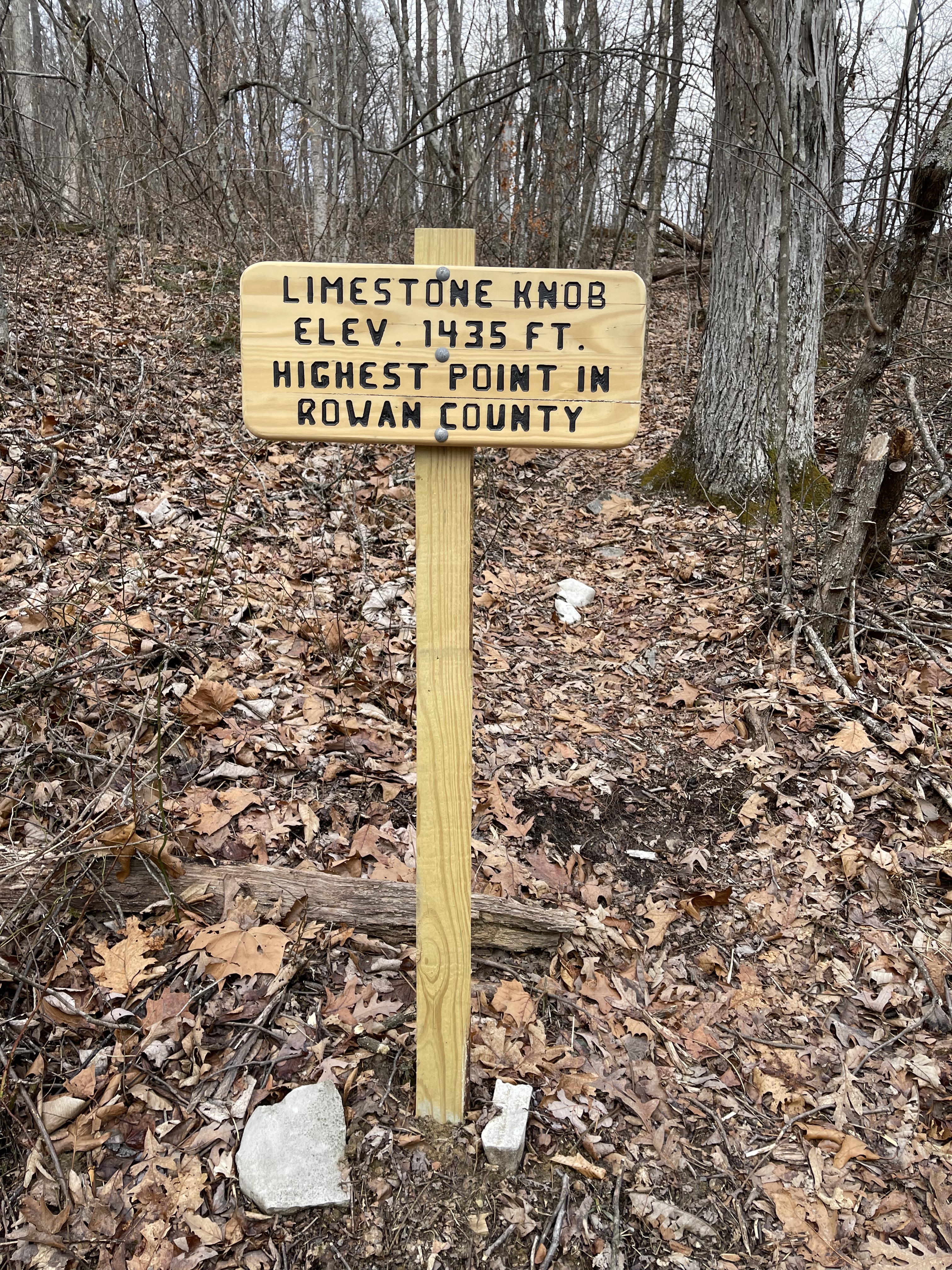
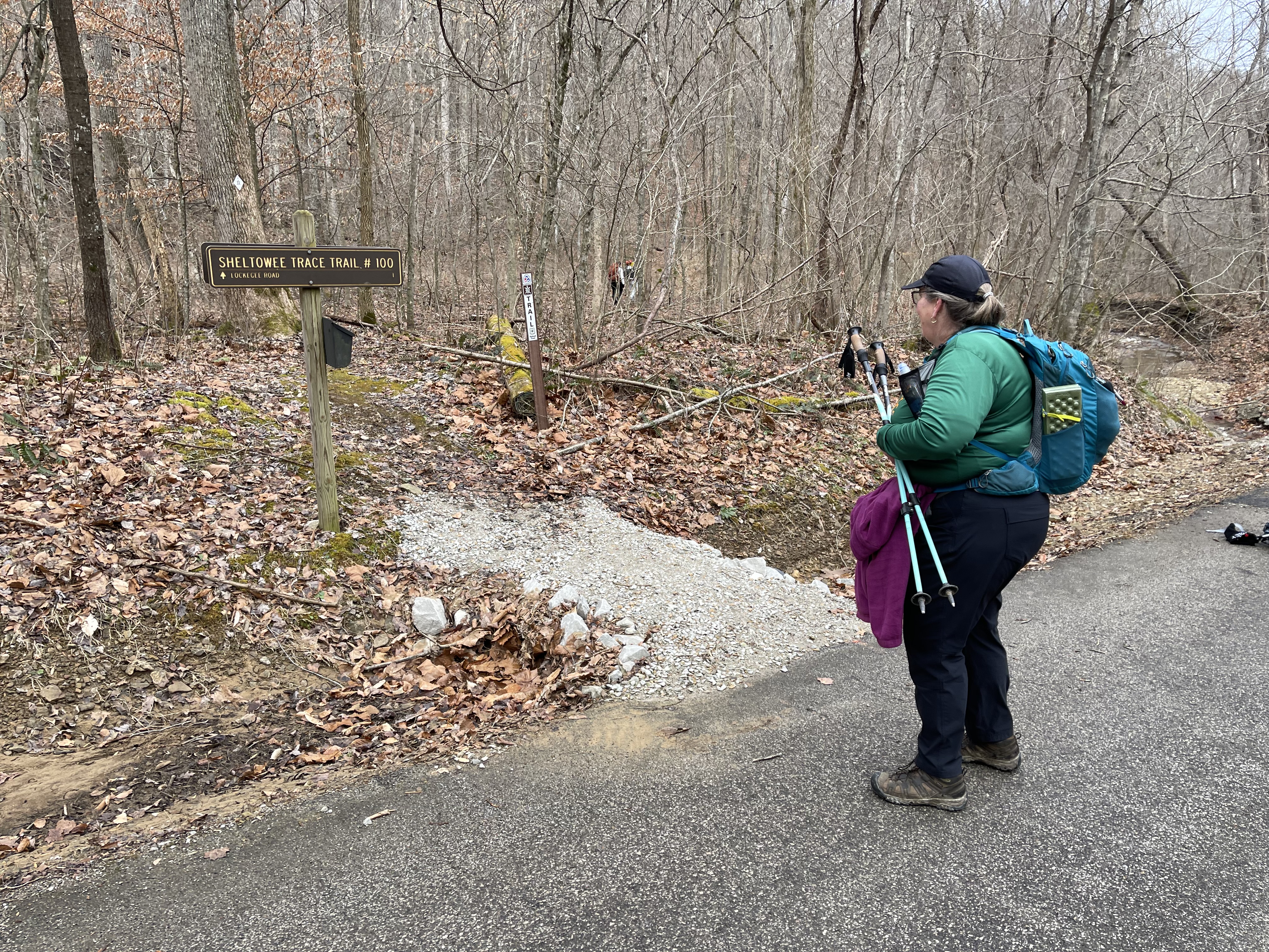
Back on the trail, we walked the hilltop on a mix of gravel and dirt over past the bike trails to the Limestone Knob trail maker. The climb to the top of Limestone Knob was not terrible, but the view needed an upgrade. I still say it is worth it to climb up there at least once in your life to say you have been there. Back on the trail, we made our way around the ridgetop to the intersection of the old Sheltowee Trace before it was rerouted to go down Main Street in Morehead.
I spent the entire day making notes and taking pictures for the new FarOut App that should be coming soon from the Sheltowee Trace Association. We are marking essential waypoints along the trail to help future hikers navigate better and communicate important information with each other. At each intersection, point of interest, powerline, sign, or significant turn in the trail, we stop, record the latitude and longitude, and take some photos. We create a description of the location and any other important information that hikers might need in the future. It is a long process but will be well worth the effort in the next few months.
The trail in this section is a beautiful ridgetop walk with fantastic views through the trees on each side of the trail. Then the trail starts the downhill to Highway 801 and the Cave Run Dam. The trail is well maintained and in great shape. We crossed the road at the foot of the hill and walked past the Cumberland District Office. The trail passes through the High Bank Picnic area and over to the dam.
The views across the dam were terrific, even though the skies were overcast. About halfway across the dam, a bald eagle flew across the roadway to the lake in search of a snack. From there, it was a short hike to camp on the hill at Stoney Cove.

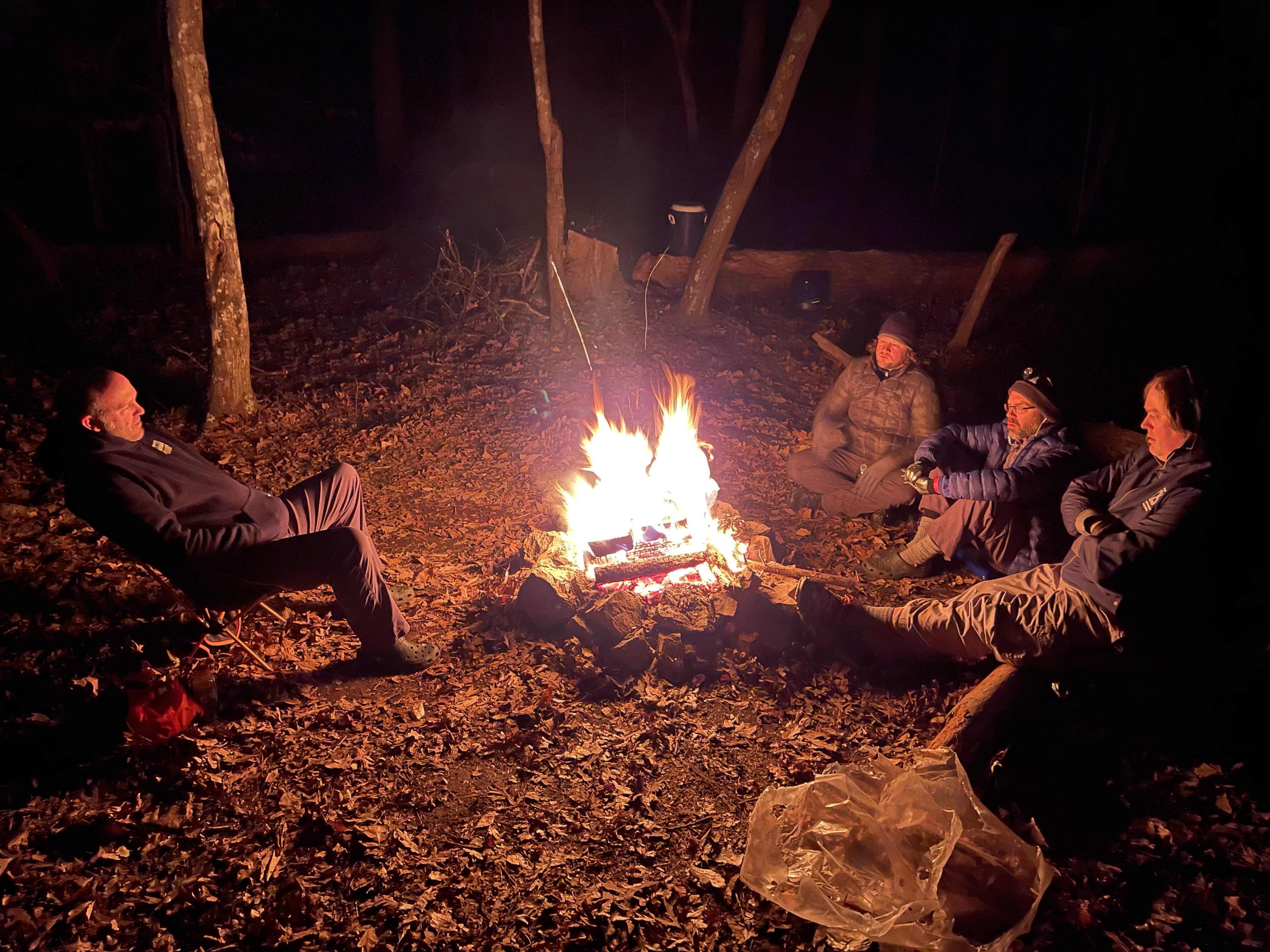
When I arrived at camp, several hikers had their tents up and were gathered around the fire. Many conversations were had about finishing early and what they would do to fill up their night since some arrived at camp about 11:45 a.m. I stepped away from camp for a little while to have dinner with my family in Morehead to celebrate my 50th birthday and then returned. Steve Barbour conducted the Saturday night meeting, and one by one, most faded away to their tents not long after the sunset in the western sky.

A group of us stood around the campfire and had a great time laughing and telling stories of our hiking adventures through the years. I am sure we were too loud at times and may have disturbed some of those around us but not all, as we had a steady chorus of “nose trumpets” playing all around us for much of the night. I crawled into my sleeping bag about 10:30 p.m. and had no issue sleeping, although the temperature dropped to 14 degrees and light snow fell against the tent at several points in the night.
Sunday, February 13, 2022
I was up early and stood by the fire for a bit on Sunday morning. I usually leave early in the morning using my headlamp, but I had to wait for daylight to take photos for the FarOut project this hike. I packed up and left camp about 7:15 a.m., and the sky was light enough that no lamp was needed.
In and out of every cove along the shore of Cave Run lake makes a long morning, but it was beautiful. The sun rose, and the sky started to clear with small holes allowing the bright blue to poke through the clouds. I rolled along with Randall Buys as the snow fell harder and harder and eventually put down a light covering on the leaves and trees. It was nice and quiet, and I listened to many hours of The Last King of America on my headphones as I recorded waypoints for the app project.

I was not shocked when I arrived at the Caney Creek crossing to see high water over the trail. We had noticed that the water was up in the trees and that the lake was not at the winter pool yet. When we walked down to the water, I started to just wade through but decided to walk upstream and cross. A trek of about 75 yards brought me to a shallow ford, but the rock on the other side was covered in ice. After careful maneuvering, I made it up on the hill and back to the trail. No foot washing was required of me at Caney Creek, but I feared more water to come at Sulphur Branch.
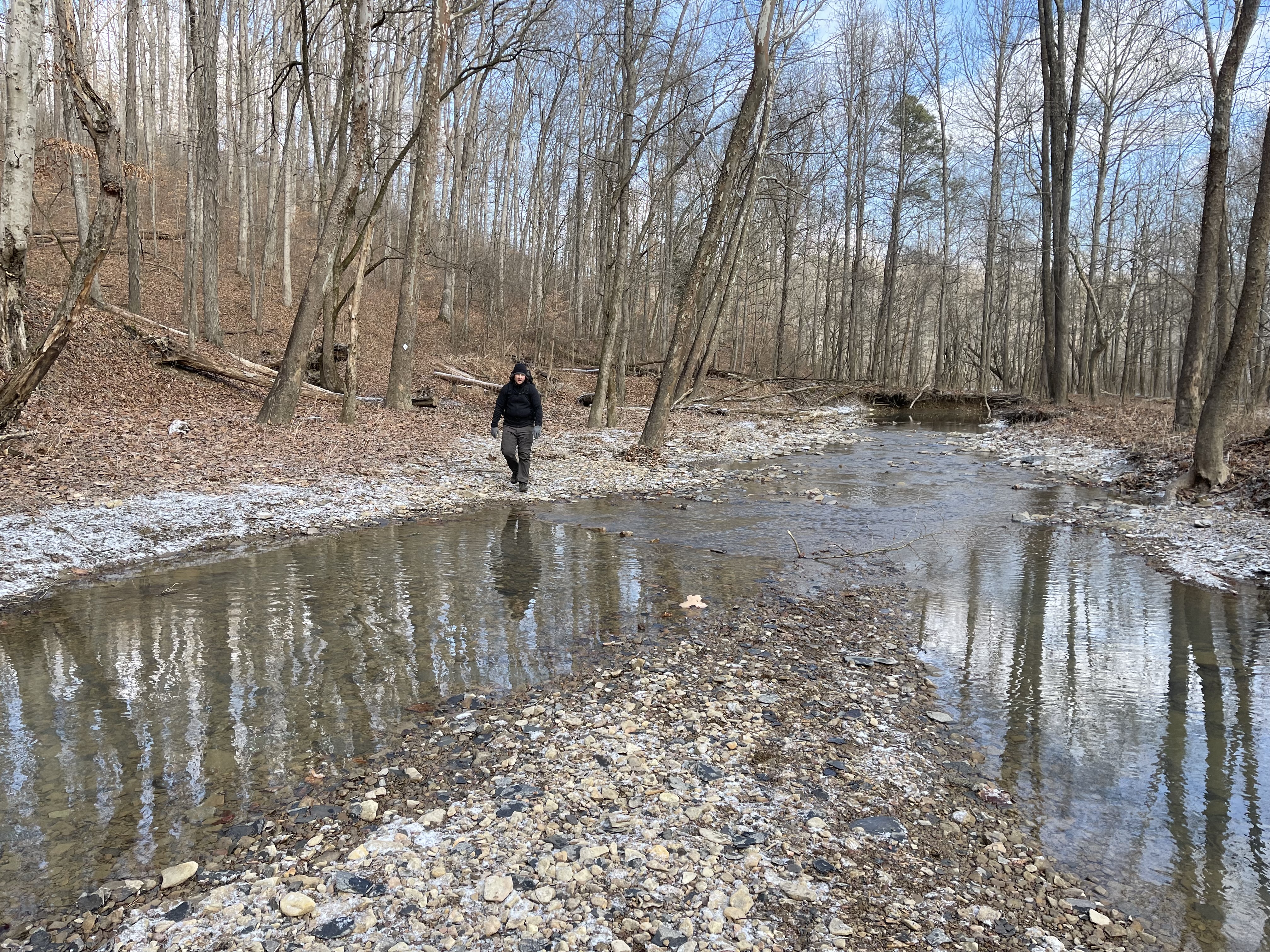
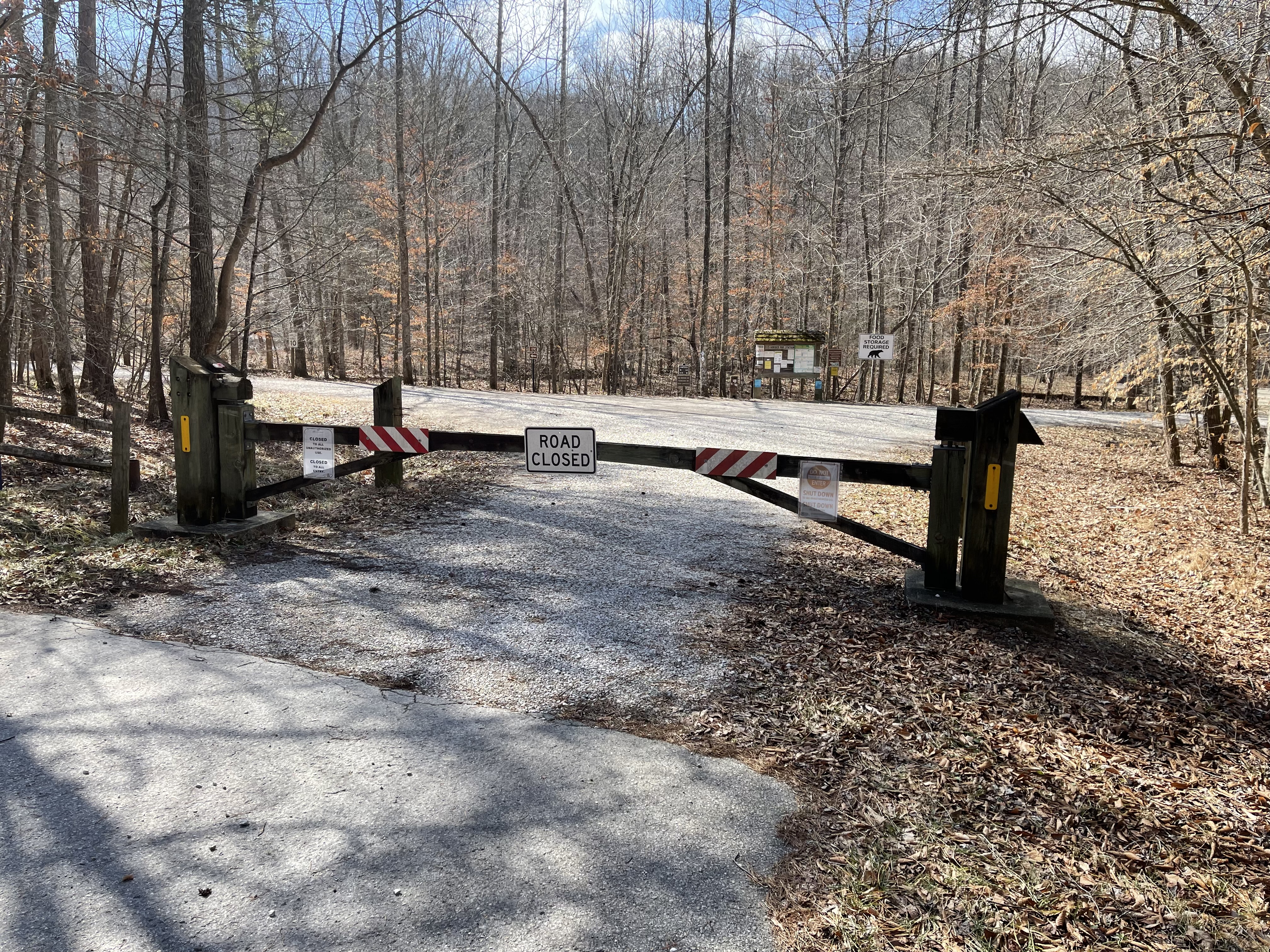
The short trip over the hump and down to Sulphur Branch brought a pleasant surprise as the water was not as high, and no diversion was needed to get across. From that point, it was up the ridge and over, through the pioneer weapons area, around Cedar Cliffs, and down the valley to the Clear Creek Campground entrance.
Impression from Hike Two
Everyone seemed to have an easier time on Hike Two. Yes, the terrain is a little easier in many ways, but I also think it had to do with the level of comfort and confidence. It seemed that hikers were more efficient in their packs and understood what was ahead of them. Not that the hike was easier, but Challengers were more prepared.
Everyone walked at a good pace, and many walked very fast and had to sit for some time in the cold at camp. There was one unexpected surprise, and everyone was appreciated for that gift and the brownies that made their way to camp. It seemed more like a team as we had the opportunity to talk more and learn about each other.
Lessons from Hike Two
Many of the lessons of Hike One were learned. We were more innovative and did not have to work harder. The one major lesson I could offer from this hike is to slow down. You will learn that the real trail is not dirt, gravel, asphalt, and rocks. The real trail is the people we meet, talk with, and learn about around the campfire.
Yes, hike your own hike- I know. But don’t be afraid to stop and take a picture. Take that side trail to a view. Sit down and have a snack. The lesson of Hike Two is to learn that the trial is about people and the relationships we find with people who love hiking as much as you do.
I promise- you will remember the friends you make much longer than the footsteps you take.
