
Team Rugby – July 13-14, 2024
By Stephen D. Bowling
Our time together in the trial is quickly coming to an end. We now only have four hikes left before the 2024 Sheltowee Trace Challenge draws to an end.
Hike Eight for Team Rugby presented hikers with many challenges. Most were able to meet those challenges and ended both days drenched in sweat and tired. Heat, snakes, the lack of water, and an unforgiving and relentless terrain added to the “enjoyment” of a hike along the Cumberland River in July. The heat index for Saturday, July 13, reached 104 along the river, and water was hard to find.
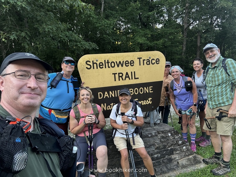
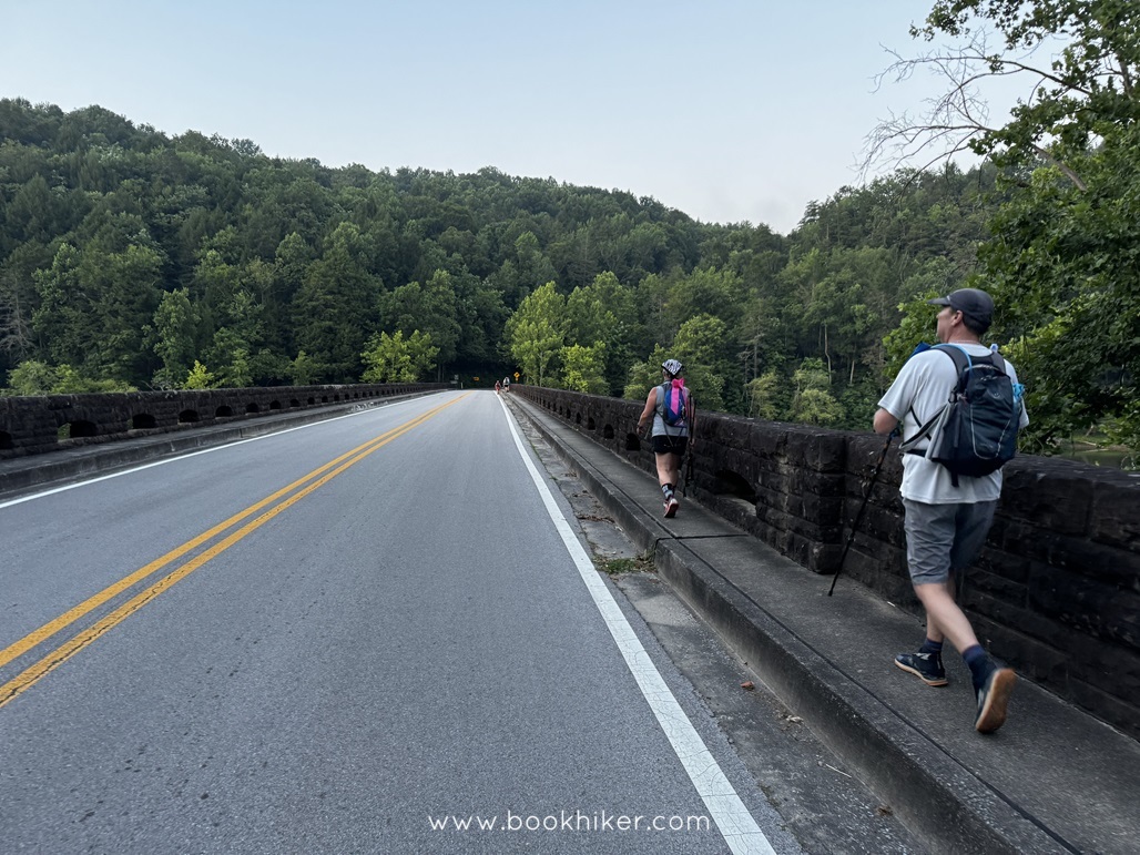
The hike started with a shuttle pickup at Cumberland Falls State Park. A half-hour ride put hikers at their drop-off point. Many in the 6:30 a.m. shuttle had taken advantage of an early hiking day and walked eight miles around Laurel Lake to the dam. They restarted their hike there, and eight hikers were dropped off at the 192/Sheltowee Trace Trailhead.
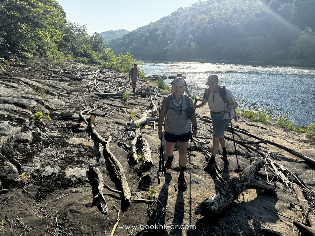
In and out around the lake led hikers to the dam and a duck back into the woods. The trial wound its way down to the river and on down the trail to the Mouth of Laurel and the kudzu display there. After some wonderful trail magic by the Western Kentucky Chapter of the Sheltowee Trace Association, the “Fun Ten” started. The trail followed the Cumberland River and made its way either 11, 5, 16, 7, or 240 miles to Cumberland Falls, depending on which sign you believed.
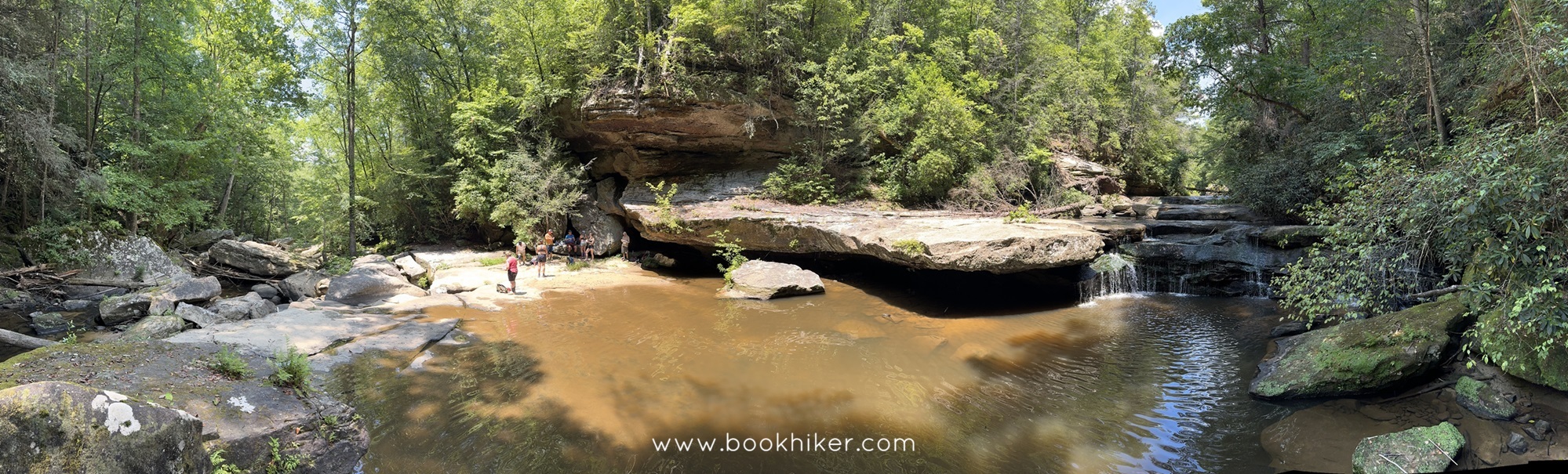
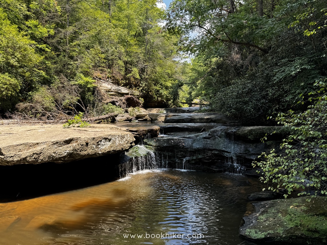
I was happy to stop with our small group for a quick swim at the Bark Camp Cascades, which was refreshing. After a quick snack, we were back on the trail headed to the Falls. The next few miles were an adventure. We had two in our group that succumbed to the impact of the heat. Our pace slowed. We stopped frequently and allowed them to rest; many donated water to ensure their safety. At one point, we stopped to allow a member to cool their core temperature with a dip in the river. But on we trod.
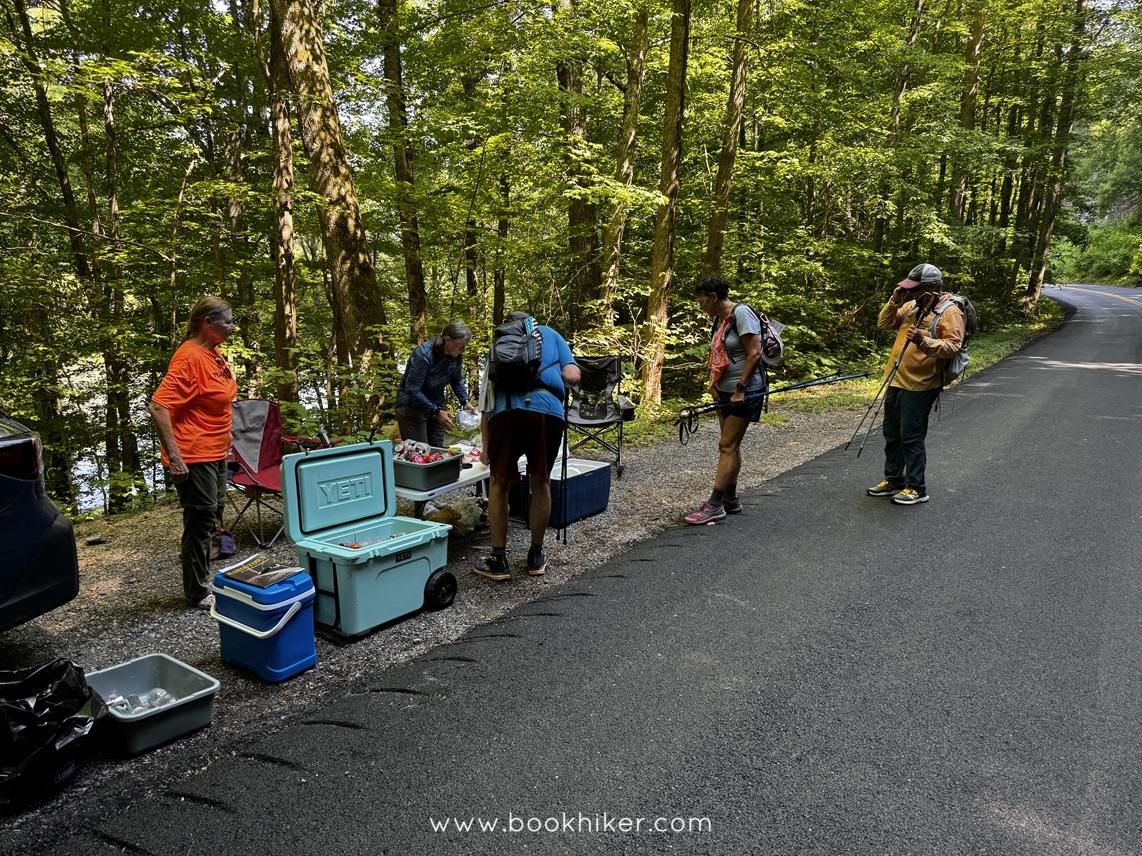
We made it to the Falls for a quick group picture and headed quickly to the camp for showers and rest. I drove into Corbin for some ice and needed supplies and then enjoyed a hamburger before returning to the lodge for the night. I think most slept very well.
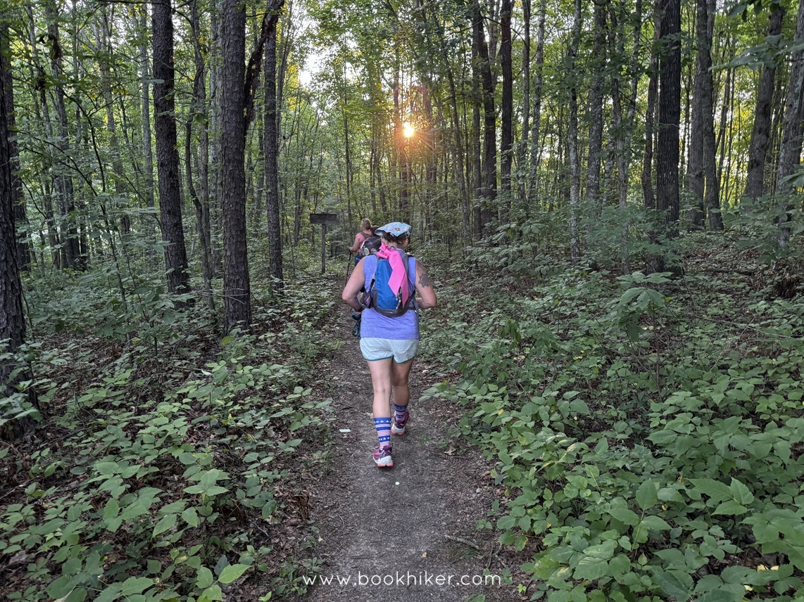
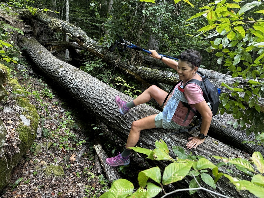
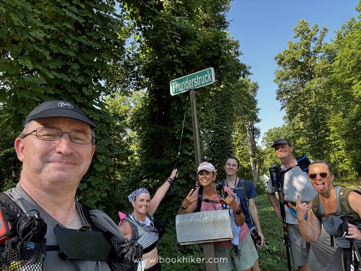
We were all up and out the next morning at 6:00, ready to hit the trail south to Thunderstruck and Catron Road. The morning on Sunday was cool, and we encountered numerous blowdowns along the river at Blue Bend, Slick Soals, both Mulberry Branches and Pitch Rapids. Then there was the hill.
The fog that kept the morning temperatures pleasant was gone when we reached the base of Thunderstruck. The heat and humidity started to rapidly rise as we began our ascent. Up, up, and up to the intersection of Highway 700 and then a road walk down to Indian Creek. On the other side of Indian Creek, another climb awaited us. A few small patches of blackberries helped many fortify themselves for the steep uphill.
Shortly after reaching the top, Steve Barbour stopped and told the group to stay on Highway 700. Several of the hikers who left before our group slogged their way through the valley and reported a serious need for trail maintenance. Steve Barbour decided to bypass the valley walk for safety reasons, so we made our way to Catron Road to await the shuttle to our cars.
Despite the heat and technical terrain, it was a good weekend on the Sheltowee Trace.
Here are a few images from the weekend.


According to the official calculations, we have completed 231.0 miles or 64.69% of the trail.
If you lived through Hike Eight, you have a great story to tell your grandchildren about the trail being uphill both ways. There are great views to come and even better times with friends and fellow hikers. Enjoy a few weeks of air conditioner and prepare for more heat in August.
© 2024 Stephen D. Bowling
